
The Application of Sensors and IMUs in Drones
In this chapter, we will learn and understand the major sensors that are used in drones to lift into the air and help their systems fly and navigate to waypoints. With the help of these sensors, the drone can fly in various modes and various patterns in manual and autonomous modes. We will learn about the working of these sensors in this chapter, how they interface, and what output they give. We will also learn about the impact they have on the drone’s system. At the end of this chapter, we will be diving deep into the anatomy of a drone, which helps us to understand how it works.
We will cover the major sensors required in the drone system under the following topics:
- The inertial measurement unit and its role
- The barometer and its role
- GPS and magnetometer and their roles
- Voltage and current sensors and their roles
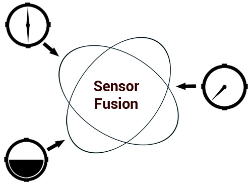
- Sensor fusion and state estimation
By going through the above topics, we will briefly...