


Adding PostGIS layers – gvSIG
gvSIG is a GIS package developed for the Generalitat Valenciana (gv) in Spain. SIG is the Spanish equivalent of GIS. Intended for use all over the world, gvSIG is available in more than a dozen languages.
Getting ready
Installers, documentation, and more details for gvSIG can be found at the following website:
http://www.gvsig.org/web/
To download gvSIG, click on the latest version (gvSIG 2.0 at the time of writing). The all-included version is recommended on the gvSIG site. Be careful while selecting the .exe or .bin versions; otherwise, you may download the program in a language that you don't understand.
How to do it...
The GeoDB layer can be added by following the ensuing steps:
- Select
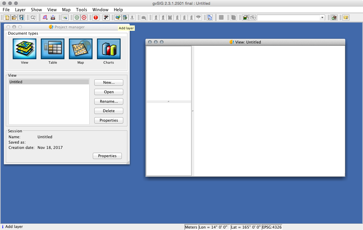
Viewas the document type in theProject managersection and then click on theNewbutton. A blank view (canvas) will open. - Click on the
AddLayerbutton on the menu bar, as shown in the following screenshot:
- Next, select the
GeoDBtab and click on the button to the right of theChoose...


